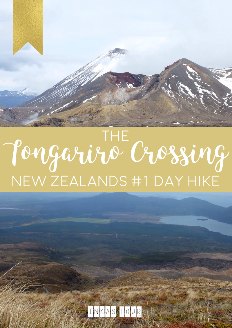
You are asking why the Tongariro Crossing is one of the Best Day Hikes in New Zealand?
Well let me tell you:
The Tongariro Crossing in one of nine New Zealand’s Great Walks. “The New Zealand Great Walks are a set of popular tramping (Hiking) tracks … through areas of some of the best scenery in the country, ranging from coastlines with beaches to dense rain forests and alpine terrain.” – from Wikipedia. The Tongariro Alpine Crossing is probably the most well known of the Great Walks. Especially among Lord of the Kind fans. On this Hike you will find Mount Ngauruhoe, more commonly knows at Mount Doom. Although it is so “famous” and is a total Tourist Attraction it does not mean it is any less beautiful. This 20km (19,4km to be exact) and an elevation gain of 786 m hike can easily be done in 6-8 hours of hiking, in which you will cross some spectacular view.
Believe me there are point of struggle, but once you have reached the highest elevation point of 1886m , which marks the highest point everything kind of goes downhill form there.
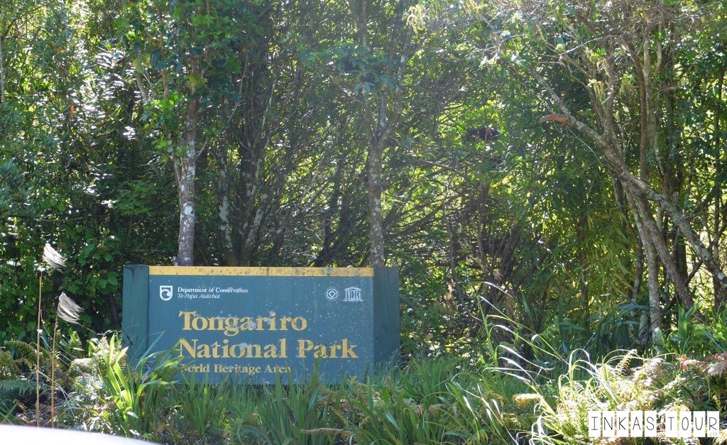
FOUR things to know before you go:
- Check the Weather Forecast for the Tongariro National Park. – If the weather is bad, the wind too high you will not be able to go on this hike.
- Book one of the Shuttle Services. Most accomodation in the National Park Village will book this for you. The Tongariro Crossing is NOT a Loop walk, and you will be 19.4 km away from you Car if you end up driving there.
- Wear proper clothing and shoes (I found Runners were fine), you may thing you don’t need it. BUT at the Red Crater you will be glad you brought those extra layers.
- Stay in the National Park Village the night before and after the hike, for an guaranteed early start the day of and being able to fall into bed after the hike, helps so much.
The day I hiked the Tongariro Alpine Crossing: it was December 6th, it was a cloudy day, with a certain chill in the Air. Spring (almost Summer) was just embarking in the Tongariro National Park. It just seamed to be a little later there than the rest of New Zealand. The Hiking (Tramping as the Kiwi’s would say) has just started again for the Season. The Day before, so December 6th the Trail was closed due to bad weather and snow. – And it can happen at any time so be aware.
Even though it was cloudy and not the best forecast it did not stop us for hiking that day. Bonus: Not so many people on the trail.
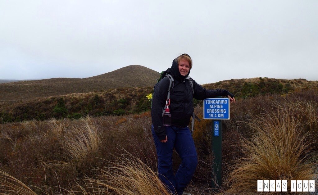
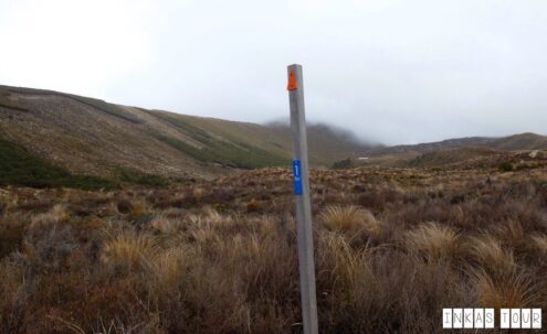
At 0km of the Tongariro Alpine Crossing.
Oh Gosh I look hideous, but that is okay because going Hiking does not mean your going to a Model Shoot. Really wear what ever you fin comfortable.
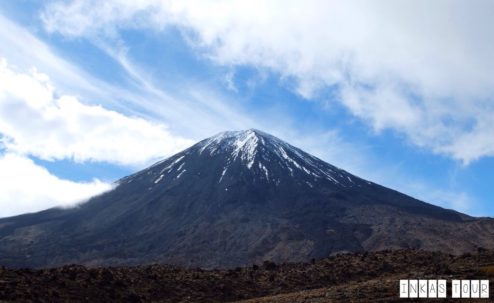
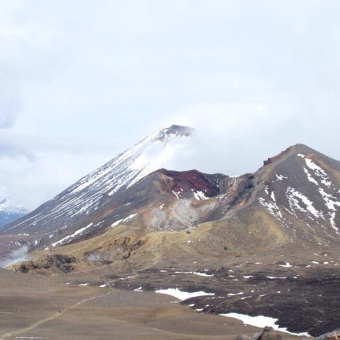
After the 0km Mark of course the 1km Mark had to follow soon. And to think that this was only the start, oh man. But who would give up? The 1km was just pure flat land, with not a lot going on. And when rewarded with the first view of Mount Ngauruhoe, better known as Mount Doom from Lord of the Rings, it was a pretty good motivator. Somehow he (Mount Doom) does not look as freighting or scary as it does in the Movies.
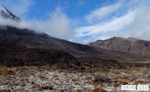
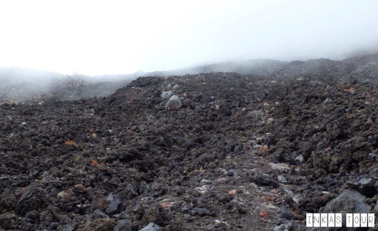
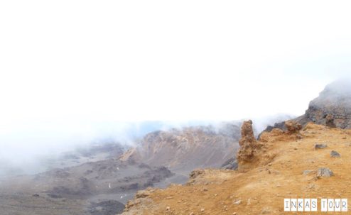
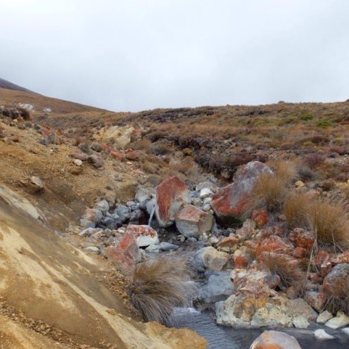
The easy part was soon to be over. After an elevation climb of 400 m over a series of Steps, that I am not gonna lie was pretty tiering, a much needed Break is needed to enjoy the view, before the fog starts rolling in, that you would see already building up. As the Air got thicker and thicker. Suddenly I felt like I was no the Moon. Just look at that, I mean there are Rocks everywhere. To be exact Volcanic Rocks from a previous eruption.
The easy part was soon to be over. After an elevation climb of 400 m over a series of Steps, that I am not gonna lie was pretty tiering, a much needed Break is needed to enjoy the view, before the fog starts rolling in, that you would see already building up. As the Air got thicker and thicker. Suddenly I felt like I was no the Moon. Just look at that, I mean there are Rocks everywhere. To be exact Volcanic Rocks from a previous eruption.
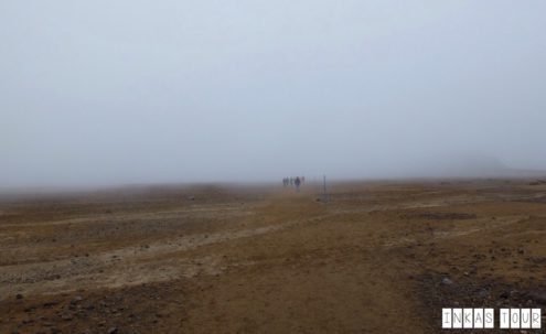
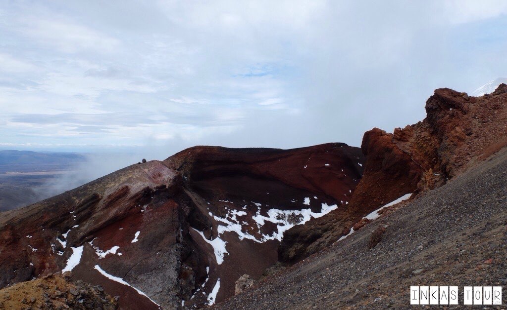
The Trail followed further to the top of the South Crater, through the Dead Man Land, where it was not possible to see much more than a few meters in front of you eyes, due to the huge amounts of fog. With of course another upward climb to the top of the Red Crater at 1886m. The highest point go the Tongariro Alpine Crossing, and to be perfectly honest here, it was so windy at the top, you where glad about any layer that you brought extra. If felt like you where going to be blown away any second.
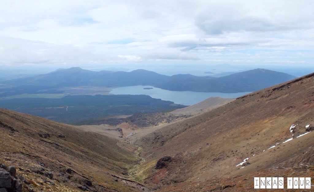
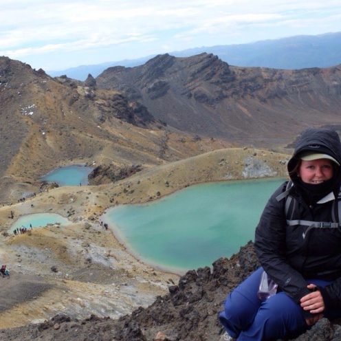
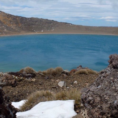
The Highlight of the whole Hike, and also the roughly the half way point is the Emerald Lakes. Please just pause for a second and look at those colours. The Blue Lake, which obviously does not know it is suppose to be Summer yet, still wants to keep some of the snow. It lies at an elevation of 1725m.By the way this is a great place to have your Lunch.
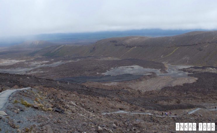
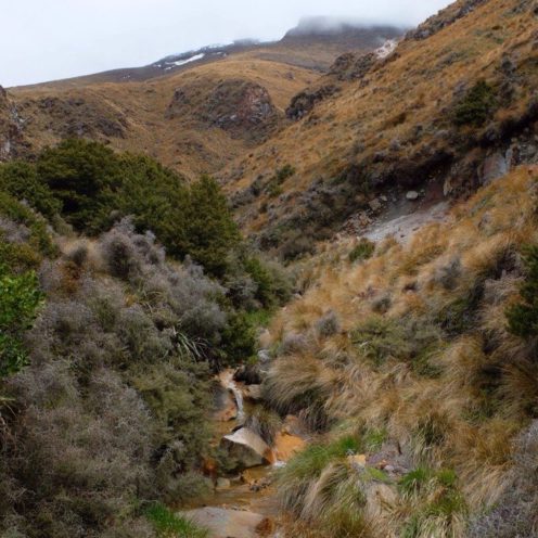
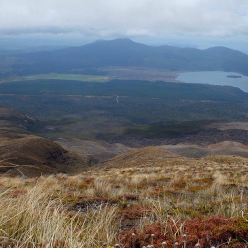
After this it just went back down. That does not mean it was any less boring. The Valley on the other side gave some even so spectacular views. What made my heart skip where the Innuksuk that where also placed here on this hiking trail. I first learned about Innuksuk in Canada where the Inuit people used them as Marker in a path. So it does make sense why they would be on hiking trails.
The Difference in Landscape really is truly amazing, from Volcanic Rocks, to turquoise Mountain Lakes, “rolling” Hills, a never ending zig-sack path that led into a beautiful Rainforest for the last 3 km. Getting to that Rainforest was pure excitement, even though the hike was amazing the tiredness was starting to roll in and the hope that the parking lot would soon be there started to grow. Trees where starting to into Cars at every corner.
I am not going to say that this Hike was easy. Maybe if you are more physically fit that me, you would say the opposite. But regardless of that the calculation of 6-8 hours is a fair estimate of the New Zealand DOC. I would recommend anyone doing it, even though I don’t know if I would have done it on my own. It was great to have the two girls there doing the hike with you, even if we where not always walking together as one was faster than the other. It was still nice knowing that if something did happen you knew someone on the trail. Over all it is all about getting out there to enjoy this amazing scenery, and most of all take this experience with you. It will be a memory that you will keep.
Let the Landscape blow your mind as it did mine. This is after all an active volcanic area, the last eruption only 2 years ago (eruption in 2012), and it’s still smoking. Its almost like Walking in the Middle of the North Island.
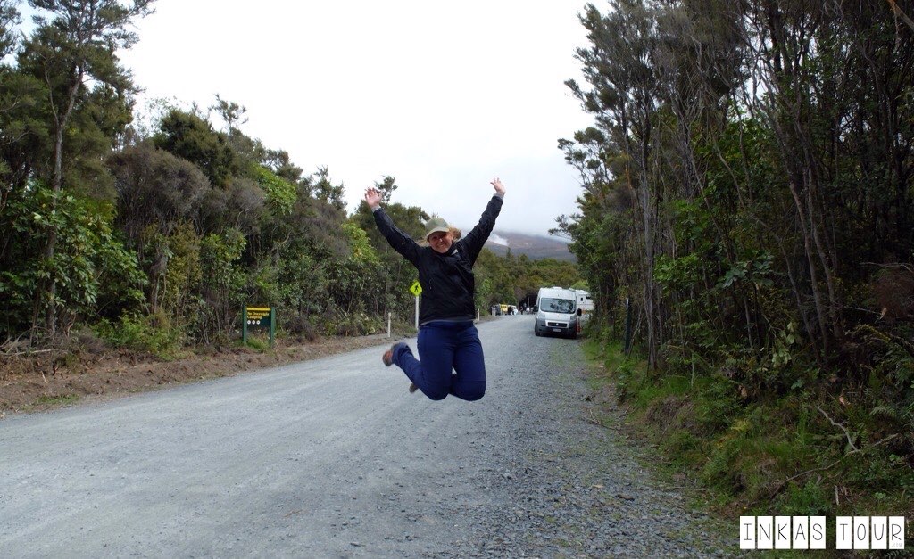
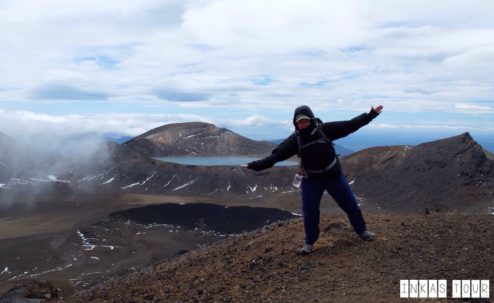
With only one Blister, some sore Muscles and a smile on my face, I fell into bed exhausted on this day. I was even a little proud of my self. To proof the Joys of completing this Hike, I used my Last energy to jump up high and celebrate.
Have you done this Hike? Tell me about you Tongariro Crossing Experience?

All content, pictures Copyright © 2015 by InkasTour.com • All Rights Reserved. All other content is copyrighted by the respective authors and linked to Origin.
Leave a Reply